SkyCheck
Restricted-airspace zones, altitude limits and weather for Romanian UAV pilots, on a map that still works with no signal.
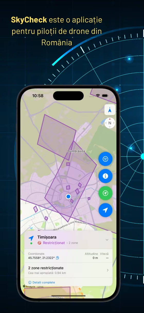
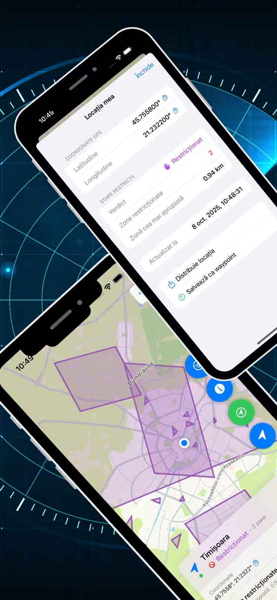
A drone pilot needs to know whether this field, right now, is legal to fly in. The official answer exists, but not in a form you can check standing in the field with one bar of signal.
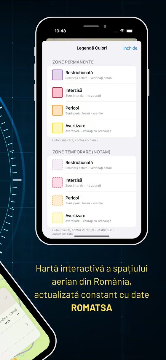
Real-time Romanian airspace restriction zones on a map, filtered by the altitude you intend to fly at, with proximity alerts and a short-range weather layer.
Native iOS with an offline-capable map, so the answer survives the place where you actually need it. Airspace zones come from ROMATSA, the Romanian air traffic authority.
Live on the App Store since October 2025. A paid app with no freemium tier.
Concept, design, iOS engineering, App Store launch, operation.